https://creativecommons.org/publicdomain/zero/1.0/https://www.rawpixel.com/image/2041098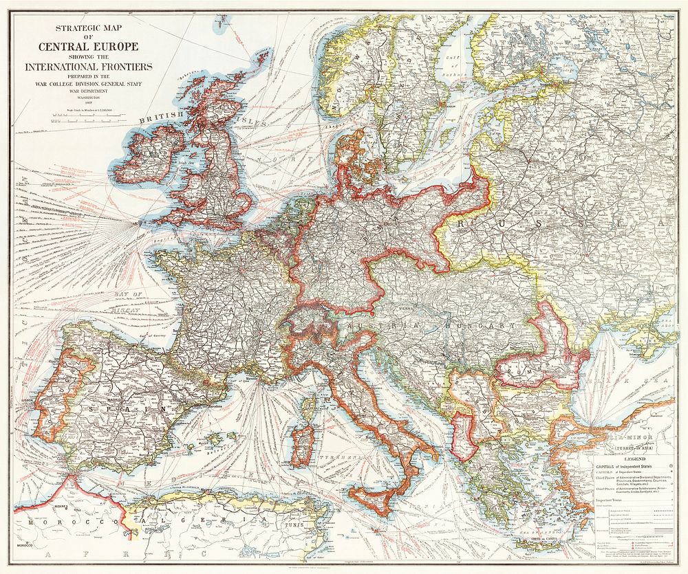
Strategic map of Central Europe showing the international frontiers / prepared in the War College Division (1915) by Arch. B. Williams and Geo. F. Bontz, Draftsmen. Original from The Beinecke Rare Book & Manuscript Library. Digitally enhanced by rawpixel.
Public DomainFree CC0 image for Personal and Business use