https://creativecommons.org/publicdomain/zero/1.0/https://www.rawpixel.com/image/414459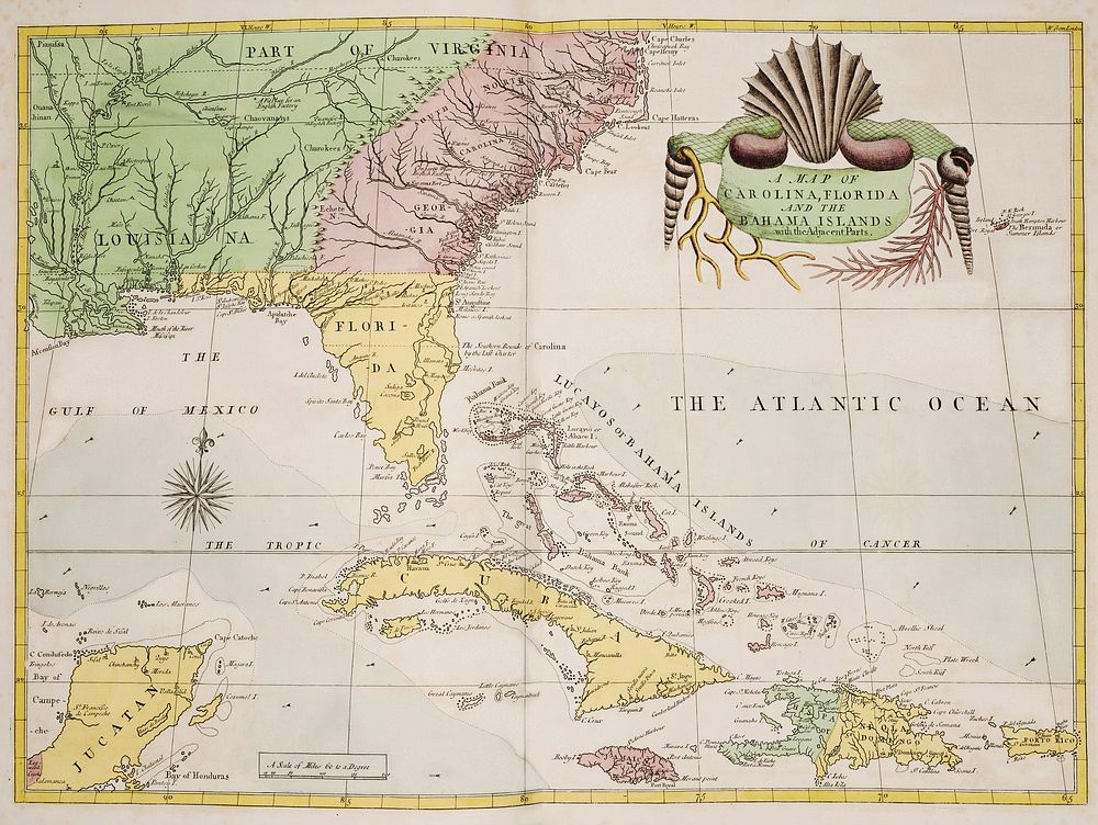
A map of Carolina, Florida and the Bahama Islands with the adjacent parts from The Natural History of Carolina, Florida, and the Bahama Islands (1754) by Mark Catesby (1683-1749). Original from The Beinecke Rare Book & Manuscript Library. Digitally enhanced by rawpixel.
Public DomainFree CC0 image for Personal and Business use