https://creativecommons.org/publicdomain/zero/1.0/https://www.rawpixel.com/image/582276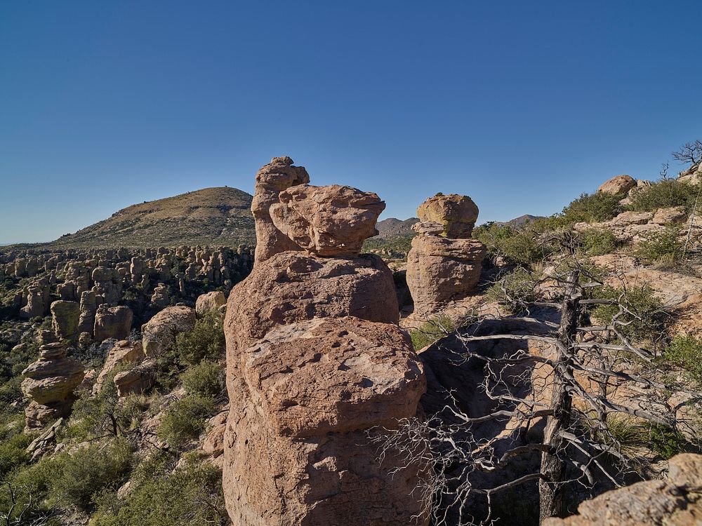
Formation in Chiricahua National Monument, a National Park Service unit in Cochise County, Arizona, that includes balanced rocks and hoodoos — thin spires of rock that protrude from the bottom of an arid badland.
The rocks are remains of an immense volcanic eruption that shook the region about 27 million years ago, producing volcanic material that eventually eroded into the natural rock formations seen at the monument. The monument’s name, taken from the Spanish, is borrowed from the Chiricahua Apache Tribe, whose leaders, including Cochise and Geronimo, who became legendary warriors in skirmishes against encroaching white soldiers and settlers in the 19th Century. Original image from Carol M. Highsmith’s America, Library of Congress collection. Digitally enhanced by rawpixel.
Public DomainFree CC0 image for Personal and Business use