https://creativecommons.org/publicdomain/zero/1.0/https://www.rawpixel.com/image/8649796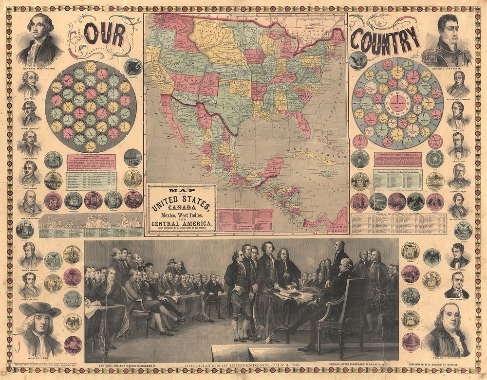
Map of the United States, Canada, Mexico, West Indies and Central America (1859) by Phelps & Watson
Original public domain from Library of Congress
Public DomainFree CC0 image for Personal and Business use