https://creativecommons.org/publicdomain/zero/1.0/https://www.rawpixel.com/image/11761402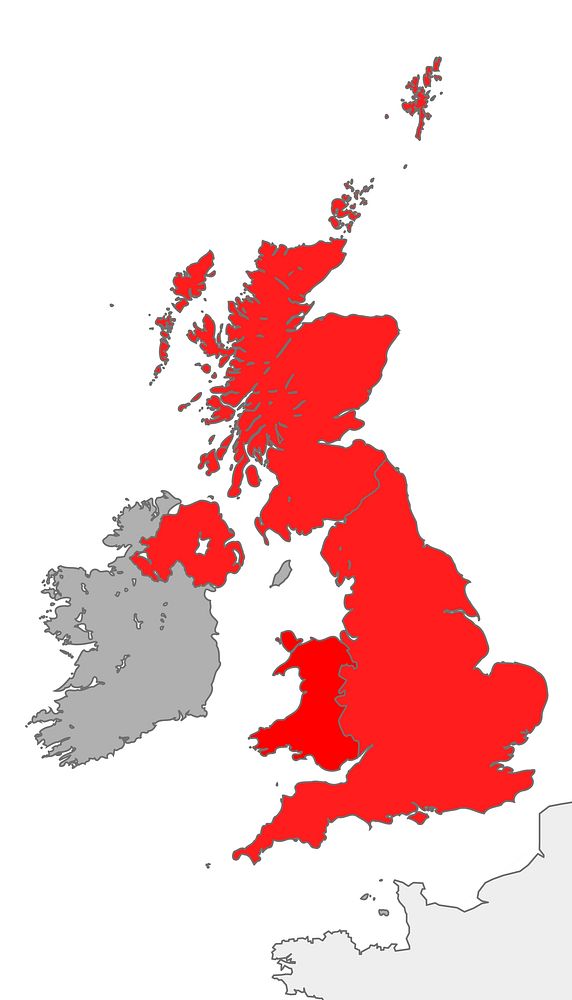
Map showing the territory of the United Kingdom in the context of the islands of Great Britain and Ireland
Original public domain image from Wikimedia Commons
Public DomainFree CC0 image for Personal and Business use