https://www.usa.gov/copyrighted-government-workshttps://www.rawpixel.com/image/12275054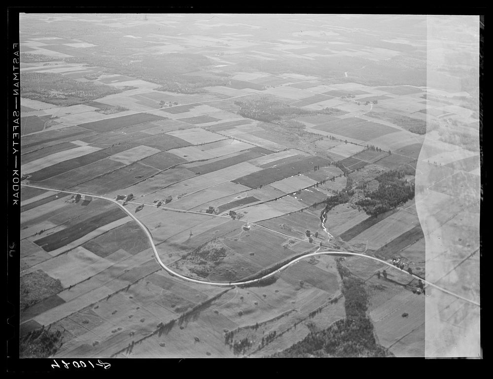
Potato farms in Aroostook County showing the layout of land. The highway curving in the foreground is U.S. 1. See general caption no. 1 Aroostook County. Sourced from the Library of Congress.
View public domain image source here
Public DomainFree CCO U.S. Government image for Personal and Business use