https://creativecommons.org/publicdomain/zero/1.0/https://www.rawpixel.com/image/13028792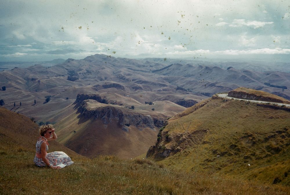
Southern end of the Kohinurakau Range - where its breaks up into several lesser escarpment - to Mt Erin, 1603 feet, in distance (09 December 1961) by Leslie Adkin.
Original public domain image from Museum of New Zealand Te Papa Tongarewa
Public DomainFree CC0 image for Personal and Business use