https://creativecommons.org/publicdomain/zero/1.0/https://www.rawpixel.com/image/2041320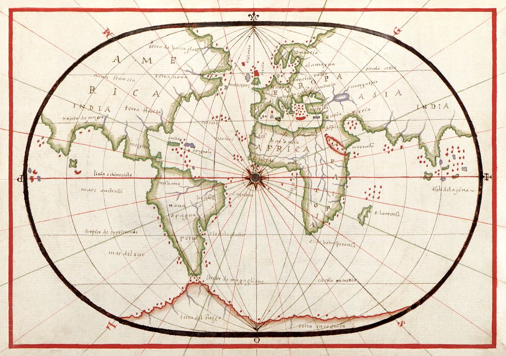
Portolan atlas of the Mediterranean Sea, western Europe, and the northwest coast of Africa: World map drawn on an oval projection (ca. 1590) by Joan Oliva. Original from Library of Congress. Digitally enhanced by rawpixel.
Public DomainFree CC0 image for Personal and Business use