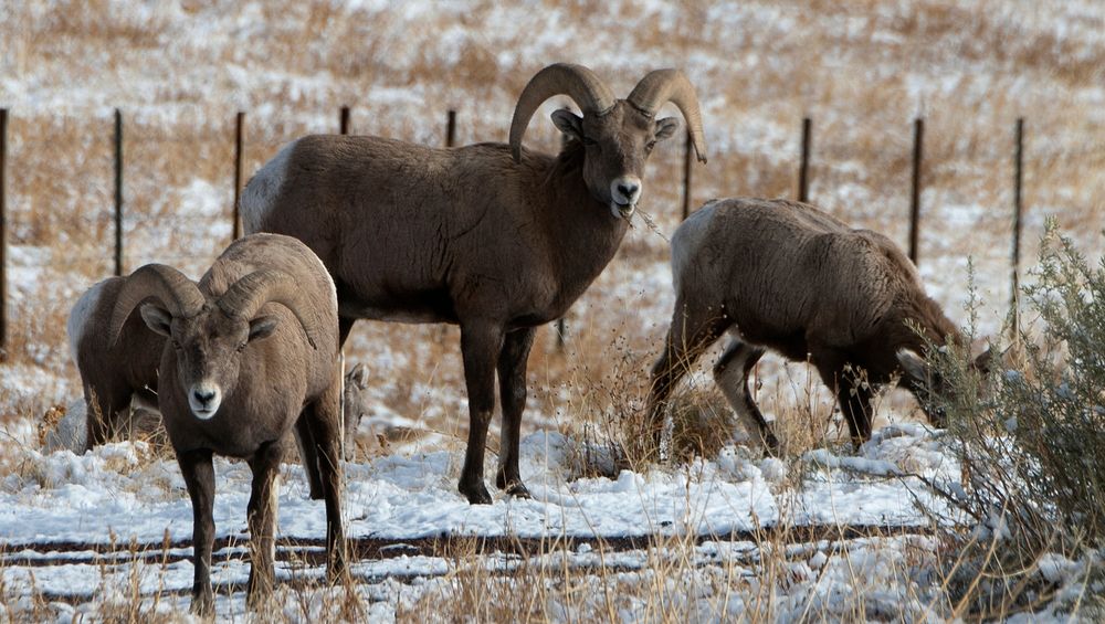
Bighorn Sheep in the U.S. Department of Agriculture (USDA) Forest Service (FS) Apache-Sitgreaves National Forests, five miles north of Greer, AZ on Dec 7, 2018.
The Apache-Sitgreaves National Forests, administered as one national forest, encompasses over two million acres of magnificent mountain country in east-central Arizona.
The Apache National Forest is named after the tribes that settled in this area. It ranges in elevation from 3500 feet near Clifton to nearly 11,500 feet on Mount Baldy. The congressionally proclaimed Mount Baldy, Escudilla, and Bear Wallow wildernesses and the Blue Range Primitive Area make the Apache one of America's premier backcountry Forests. The Apache is also noted for its trout streams and high-elevation lakes and meadows.
The Sitgreaves National Forest was named for Captain Lorenzo Sitgreaves, a government topographical engineer who conducted the first scientific expedition across Arizona in the early 1850s.
USDA Photo by Lance Cheung.
For more information, please see:
www.usda.gov
www.fs.fed.us
www.fs.usda.gov/asnf
@usda
@forestservice. Original public domain image from Flickr