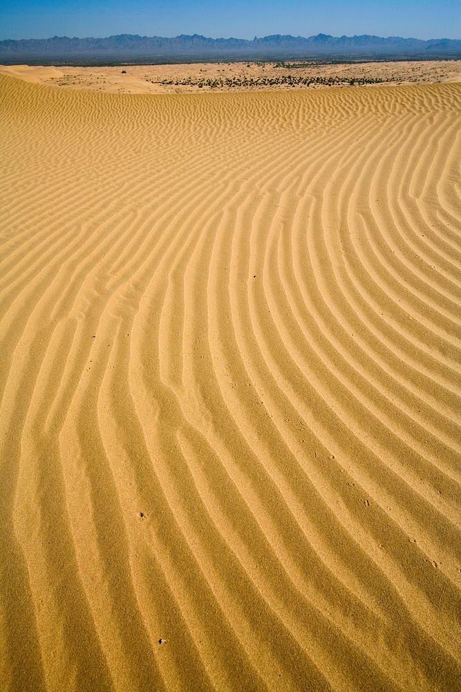
The Algodones Sand Dunes System covers 200 square miles, making it one of the largest dune complexes in North America.
Other specially designated areas found within this wilderness include the Imperial Sand Hills National Natural Landmark and the Algodones Outstanding Natural Area.
The Wilderness is divided into two distinct zones. On the west side are the primary dunes, the largest and tallest dunes composed of relatively coarse sand. On the east are the secondary dunes, smaller and composed of generally finer sands carried further east by prevailing winds.
The secondary dunes are interrupted in places by basins or flats which support mesquite, smoke tree, ironwood, palo verde and desert willow trees. Streams draining from the nearby Chocolate Mountains flow westward to the edge of the dunes, which act like a dam to hold the water. Ponds form in basins during the spring, supporting a variety of wildlife. The flat-tailed horned lizard, desert tortoise and Colorado Desert fringe-toed lizard have all been spotted in the region, and the fine sands of the secondary dunes provide habitat for the Andrews dune scarab beetle.
Original public domain image from Flickr