https://www.usa.gov/copyrighted-government-workshttps://www.rawpixel.com/image/4036441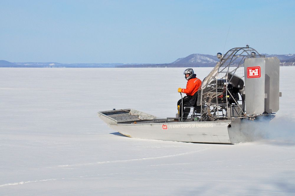
St. Paul District ice survey team
RED WING, Minn. – Al VanGuilder, St. Paul District lead survey technician, launches the St. Paul District airboat on to the Mississippi River, near Lake City, Minn., Feb. 27, to begin measuring the ice thickness within Lake Pepin. The Corps of Engineers measures the ice thickness every spring and the navigation industry uses the information to determine when to break through the ice and begin the shipping season. Lake Pepin ice is traditionally the last hurdle for the navigation industry to deal with before reaching St. Paul, because the ice is usually a lot thicker in the lake due to the slow moving current. USACE photo by Patrick N. Moes. Original public domain image from Flickr
Public DomainFree CCO U.S. Government image for Personal and Business use