https://www.usa.gov/copyrighted-government-workshttps://www.rawpixel.com/image/441195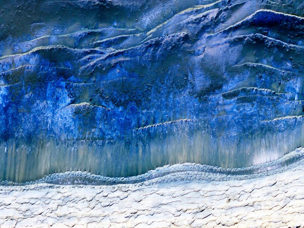
The scarp that demarcates the boundary between layered deposits covering the north polar region and the lower surrounding terrain, which includes sand dunes. Original from NASA. Digitally enhanced by rawpixel.
Public DomainFree CCO U.S. Government image for Personal and Business use