https://creativecommons.org/publicdomain/zero/1.0/https://www.rawpixel.com/image/582450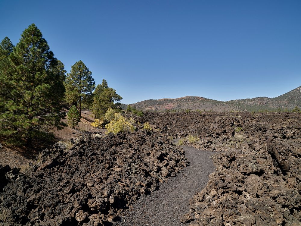
Scene along the Lava’s Edge Trail beneath and near Sunset Crater, now part of Sunset Crater Volcano National Monument, just northeast of Flagstaff, Arizona.
The date of the eruptions that formed the 340-meter-high cinder cone of the volcano’s crater itself, initially derived from tree-ring anlysis and later by geologic evidence, places the tremendous eruption between 1050 and 1085. The explosion was the source of the Bonito and Kana-a lava flows that extended up to 10 square miles from the center of the volcano. Original image from Carol M. Highsmith’s America, Library of Congress collection. Digitally enhanced by rawpixel.
Public DomainFree CC0 image for Personal and Business use