Make it
Yours.
Yours.
Edit, remix and personalize with your own text
Or start from these designs
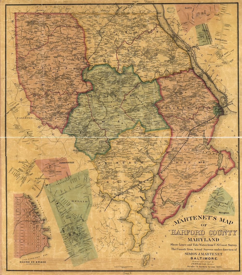
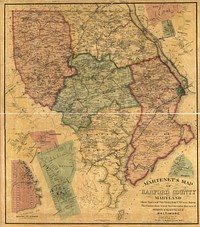
Martenet's Map of Harford County, Maryland : shore lines and tide water from U.S. Coast Survey, the county from actual surveys, Baltimore : Simon J. Martenet, 1878.
View public domain image source here
Public DomainFree CC0 image for Personal and Business use
MonthlyYearlySave 50%
Get Premium
Professional design resources and creative tools
from
from
$
6.50
/mo
$78 billed yearly
- Unlimited downloads
- Ad-free experience
- Unlock millions of creative assets and our entire Creative Studio of editable templates, mockups and design tools