https://creativecommons.org/publicdomain/zero/1.0/https://www.rawpixel.com/image/7690988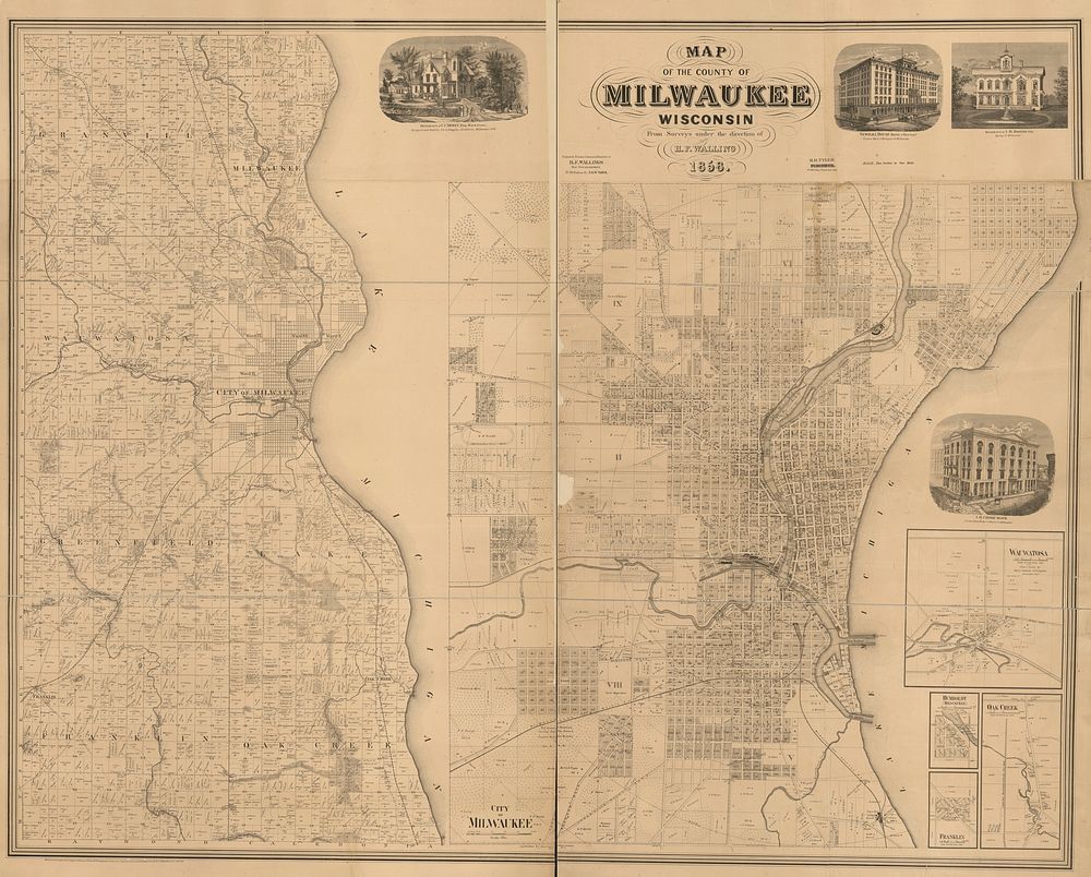
Map of the county of Milwaukee, Wisconsin by Walling, Henry Francis, 1825-1888.
View public domain image source here
Public DomainFree CC0 image for Personal and Business use