Or start from these designs
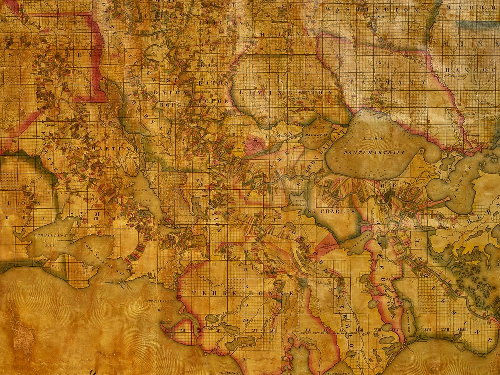
A portion of John La Tourrette's historic (and giant) 1848 reference map of Louisiana showing land ownership and plantation boundaries
Original public domain image from Library of Congress
Public DomainFree CC0 image for Personal and Business use
MonthlyYearlySave 50%
Get Premium
Professional design resources and creative tools
from
from
$
6.50
/mo
$78 billed yearly
- Unlimited downloads
- Ad-free experience
- Unlock millions of creative assets and our entire Creative Studio of editable templates, mockups and design tools