Or start from these designs
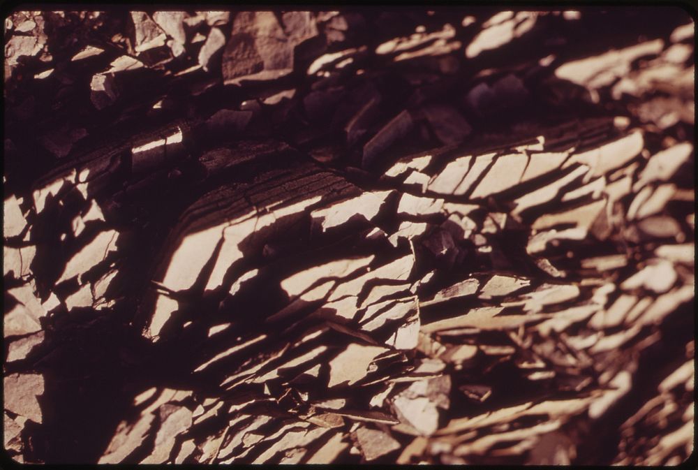
Close-Up of Slatey Rock Chips in the Atigun Gorge, 5 Miles East of the Pipeline Crossing of the Atigun River. These Chips, Here About One-Half Inch Long, Are Gradually Being Weathered Down by Frost Wind and Water Into Soil. Original public domain image from Flickr
Public DomainFree CC0 image for Personal and Business use
MonthlyYearlySave 50%
Get Premium
Professional design resources and creative tools
from
from
$
6.50
/mo
$78 billed yearly
- Unlimited downloads
- Ad-free experience
- Unlock millions of creative assets and our entire Creative Studio of editable templates, mockups and design tools