
Or start from these designs
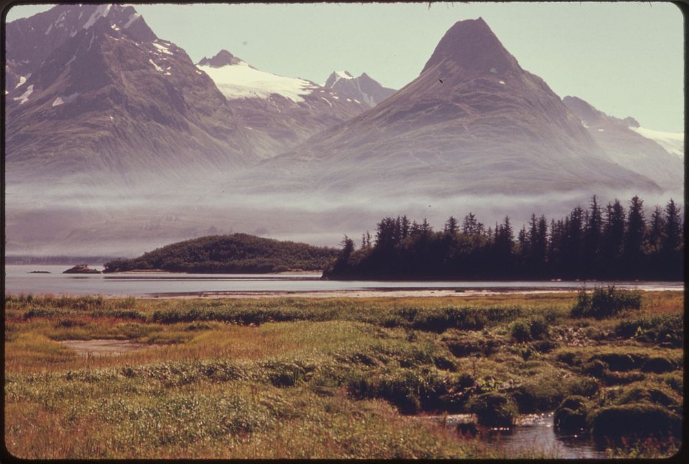
Salmon Spawn in the Streams That Drain Salt Marshes Such as the One Shown Here. One of the Mineral King Islands Appears in the Middle Distance.
The Pipeline Will Run Above the Opposite Shore From Left to Right (East to West) Below Sugarloaf, the Prominent Valdez Landmark Seen in the Upper Right. The Blue Haze Is Smoke From Land Clearing Operations Underway at the Terminal Site One Mile West of This Picture. Mile 788, Alaska Pipeline Route 08/1974. Photographer: Cowals, Dennis. Original public domain image from Flickr
Public DomainFree CC0 image for Personal and Business use
MonthlyYearlySave 50%
Get Premium
Professional design resources and creative tools
from
from
$
6.50
/mo
$78 billed yearly
- Unlimited downloads
- Ad-free experience
- Unlock millions of creative assets and our entire Creative Studio of editable templates, mockups and design tools