Or start from these designs
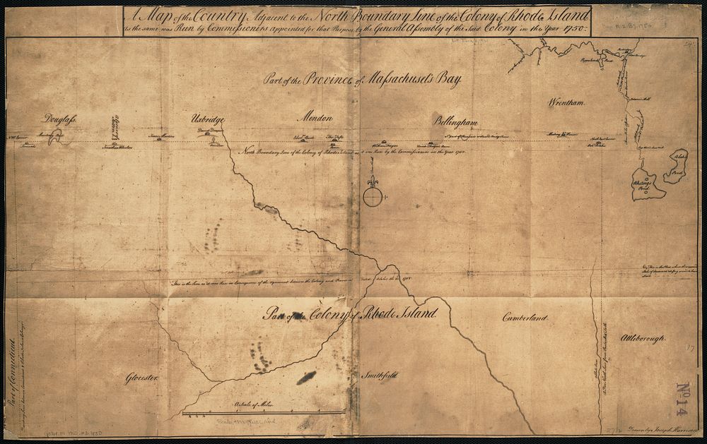
A map of the country adjacent to the north boundary line of the colony of Rhode Island as the same was run by commissioners appointed for that purpose by the general assembly of the said colony in the year 1750
Original public domain image from Digital Commonwealth
Public DomainFree CC0 image for Personal and Business use
MonthlyYearlySave 50%
Get Premium
Professional design resources and creative tools
from
from
$
6.50
/mo
$78 billed yearly
- Unlimited downloads
- Ad-free experience
- Unlock millions of creative assets and our entire Creative Studio of editable templates, mockups and design tools