Make it
Yours.
Yours.
Edit, remix and personalize with your own text
Or start from these designs
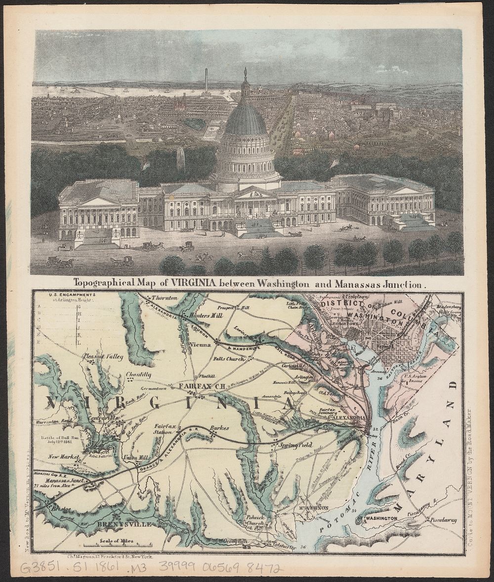
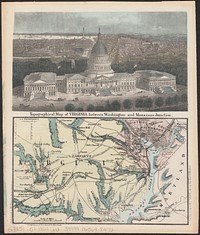
Topographical map of Virginia between Washington and Manassas Junction
Original public domain image from Digital Commonwealth
Public DomainFree CC0 image for Personal and Business use
MonthlyYearlySave 50%
Get Premium
Professional design resources and creative tools
from
from
$
6.50
/mo
$78 billed yearly
- Unlimited downloads
- Ad-free experience
- Unlock millions of creative assets and our entire Creative Studio of editable templates, mockups and design tools